Geometer GPS devices for measuring areas

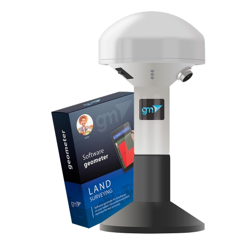
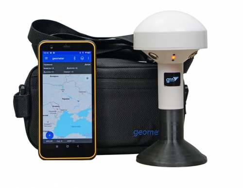
Handheld GPS devices geometer for precise area measurement are one of the best in the segment of GPS measuring devices. They are characterized by a wide range of functions, as well as simplicity and usability. The functionality of the devices was developed and adjusted to take into account the requirements of leading agronomists from different countries. We are proud that our devices are in demand all over the world.
A few years ago, we released a new generation of geometer SCOUT precision farming devices and software for agronomists, accountants and farm managers. The success of the new program has taken the company beyond precision farming, and at the moment, the new geometer SCOUT application is used not only by agricultural enterprises, but also by construction companies, surveying and landscape design companies, utilities and energy companies, mining companies, and forestry.
The first generation of the program was developed by 2010 for the Windows Mobile and Windows CE platforms. Then, since 2016, GeoMeter continues to develop a new generation of software based on the Android operating system.
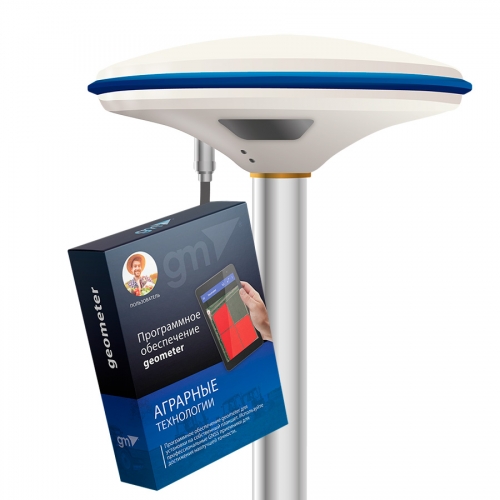
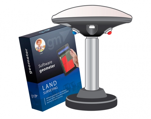
The new application comes complete with the device and is called geometer SCOUT. The word SCOUT means scouting, agroscouting is a new way of research (agronomic and not only).That is why GeoMeter's new application focuses on a deeper study of soil and plant information.
Observation of crop development and growth is the main source of information on the state of crops. Thanks to the geometer SCOUT device or the geometer application,you can not only work with exact areas of fields, but also record the phytosanitary state of plants, take photographs with reference to fields and coordinates,fix сentre of diseases, pests and weeds.
GPS devices for measuring area from the Geometer company - one of the best devices in this segment. Functionality of the system was developed and adjusted to take into account the requirements of leading agronomists from different countries.
Accurate field measurements using a GPS/GLONASS satellite signal are the foundation for correct data analysis and the first
step towards precision farming. Devices for measuring the area of agricultural fields are needed by farmers in order to correctly
draw up a plan for spending on their area. With the help of GeoMetr branded devices, a farmer can easily and quickly measure the area of his fields,display them on a map in the Agroprofile system, and get an initial work plan.
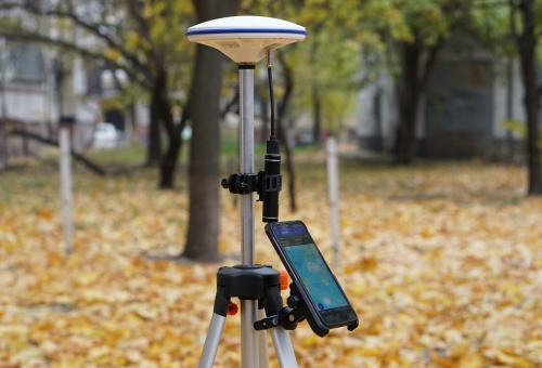
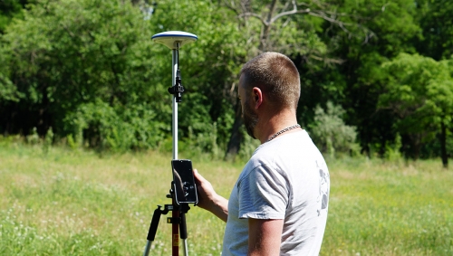
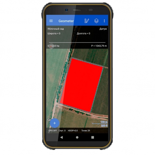
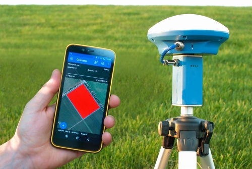
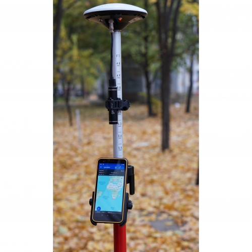
To measure the area of the field, it is enough to go around the field with the GeoMeter device, or go around by car, the device will accurately record the contour of the field in memory and display its area, perimeter and length.
GeoMeter is an original product that was developed jointly with foreign experts.For several years of fruitful work, the GeoMeter system has been brought to perfection, thanks to customer feedback and constant communication with agronomists of Ukrainian enterprises.
GeoMeter is a licensed product, purchasing which you get genuine software that fully meets the stated accuracy and capabilities, as well as you protect yourself from counterfeiting.
GeoMeter has no analogues in terms of functionality. GeoMeter is a registered trademark.

